home | qna | general posts | life posts | about me
published: Jun 17, 2026
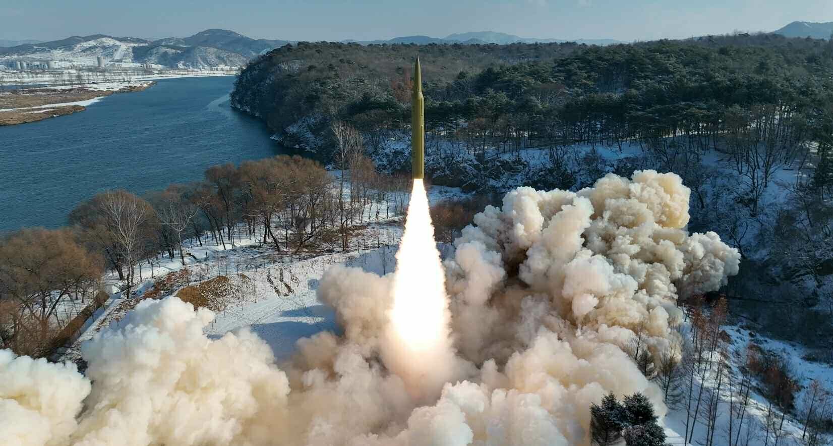
While surfing the internet, I came across this image of North Korea launching a missile.
Now I wanted to know the location of this, so first i did a reverse image search. That gave me some articles about a missile launch test in 2024.
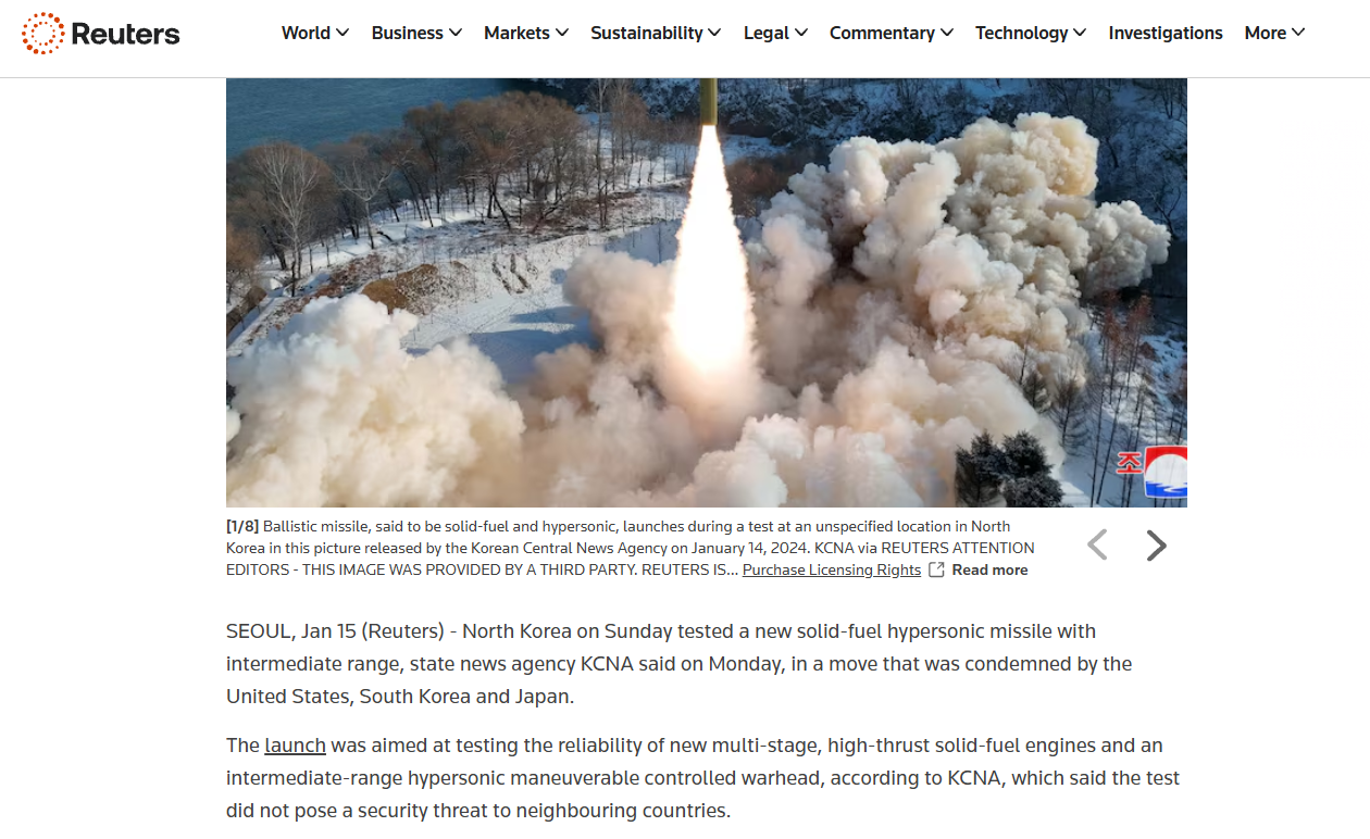
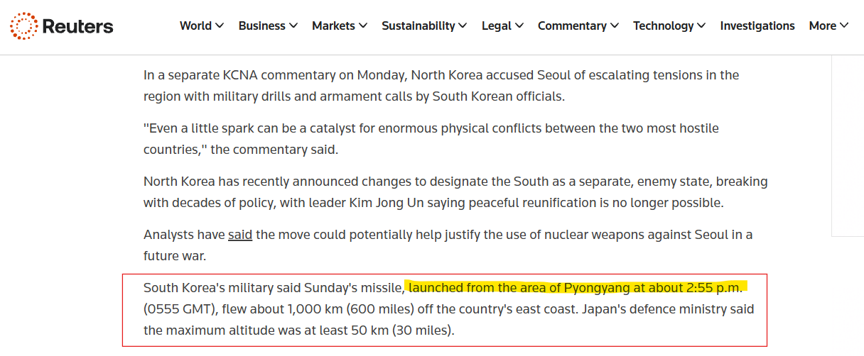
This news article provided some information about the location of the launch site. Somewhere near Pyongyang!
Lets analyze the image now.
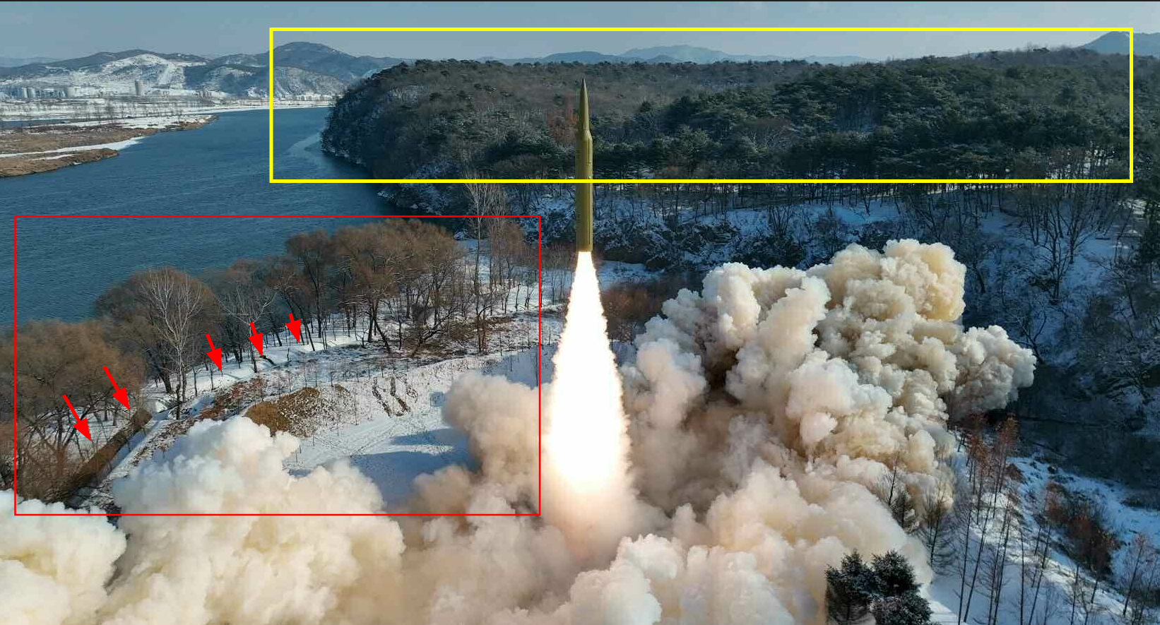
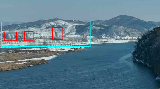
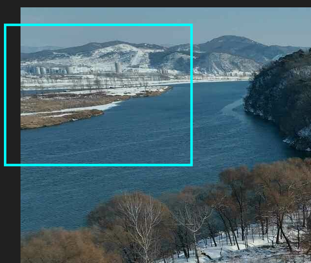
There are some interesting stuff going on in the images.
(1) I see a river flowing. This is extremely helpful because there’s only one main river flowing near Pyongyang (Taedong river), so we only need to search around there.
(2) On the top left side of the image, I see some round buildings? water tanks? structures. those can be our landmarks. (note that the structure on the right is highest among the three highlighted)
(3) The terrain in the background features prominent mountain ridges. Because the geography west of Pyongyang consists mostly of agricultural flatlands and rice paddies, the mountains indicated that the camera was likely facing eastward.
(4) Lastly the most important hint, I see river bifurcation. This splitting of the river creates tiny ‘islands’ in the middle of the river(mid-river islands. This is going to help us narrow down the search to a few specific candidate locations.
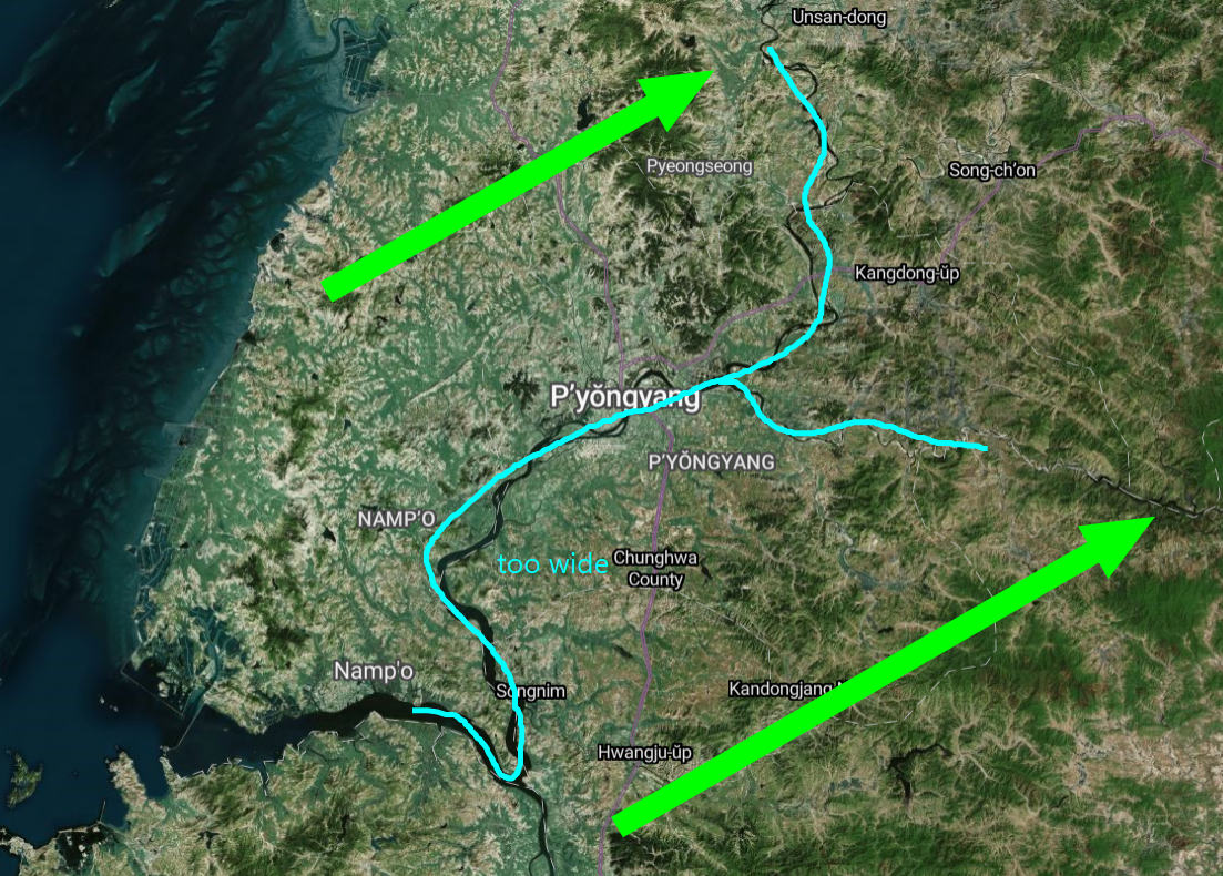
From the image, I estimated the river to be only about 200 to 300 meters wide(Trust me!! It’s an easy guess). Since the main river running through central Pyongyang is nearly 1,000 meters wide, this size difference proved that the launch site had to be further upstream to the east, where the river narrows.
Based on (4), I set some cadidate locations.
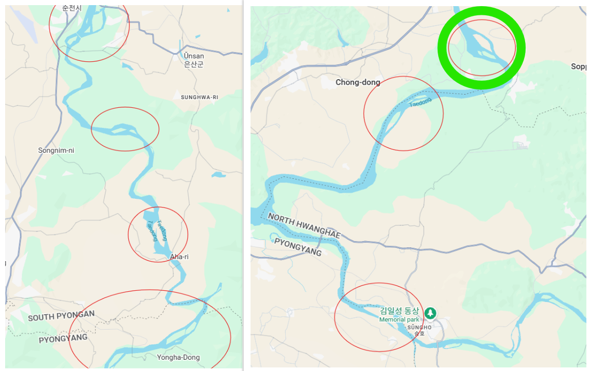
Analyzing each candidate location, I found a perfect match.
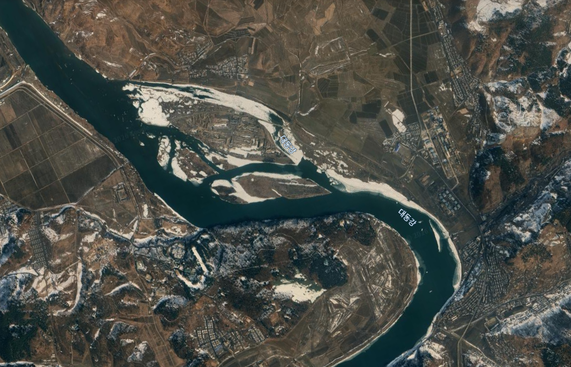
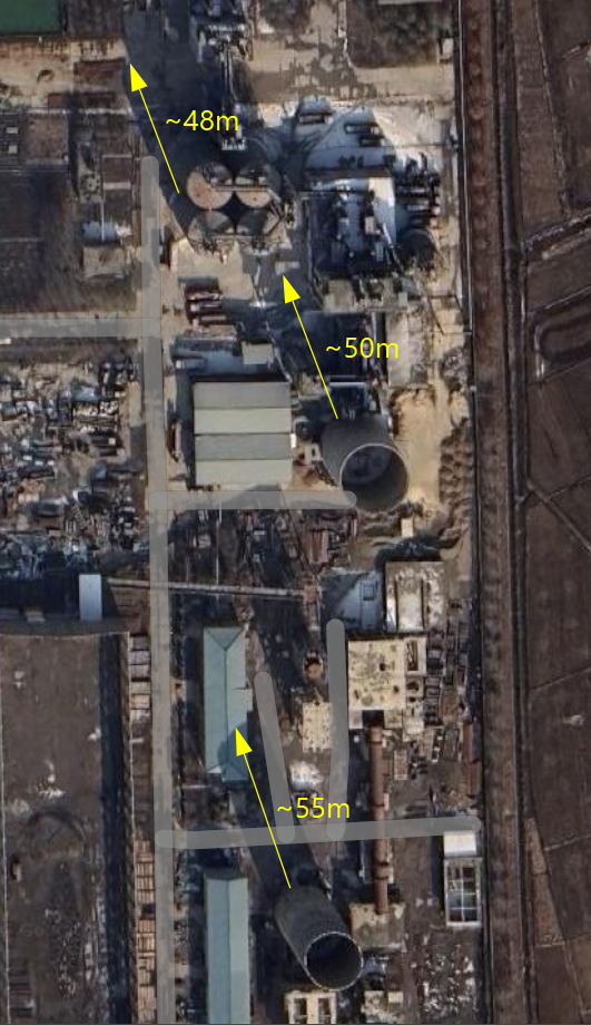
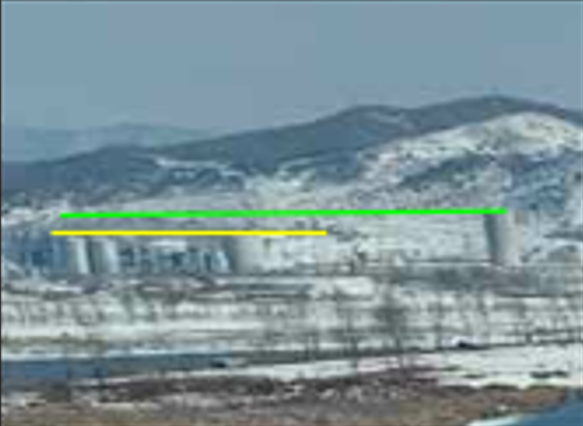
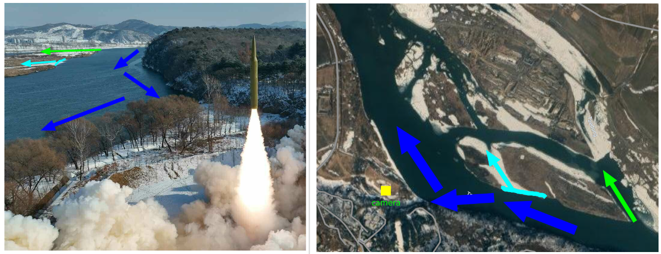
I dont think I need any explanation for this.
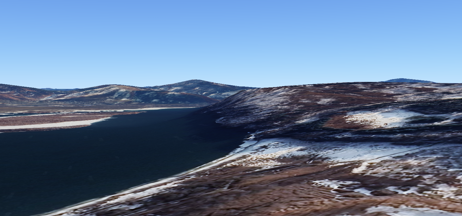
I recreacted the shot from Google earth, which shows a perfect match.
© 2026 Sekrit Sositee